Ground model
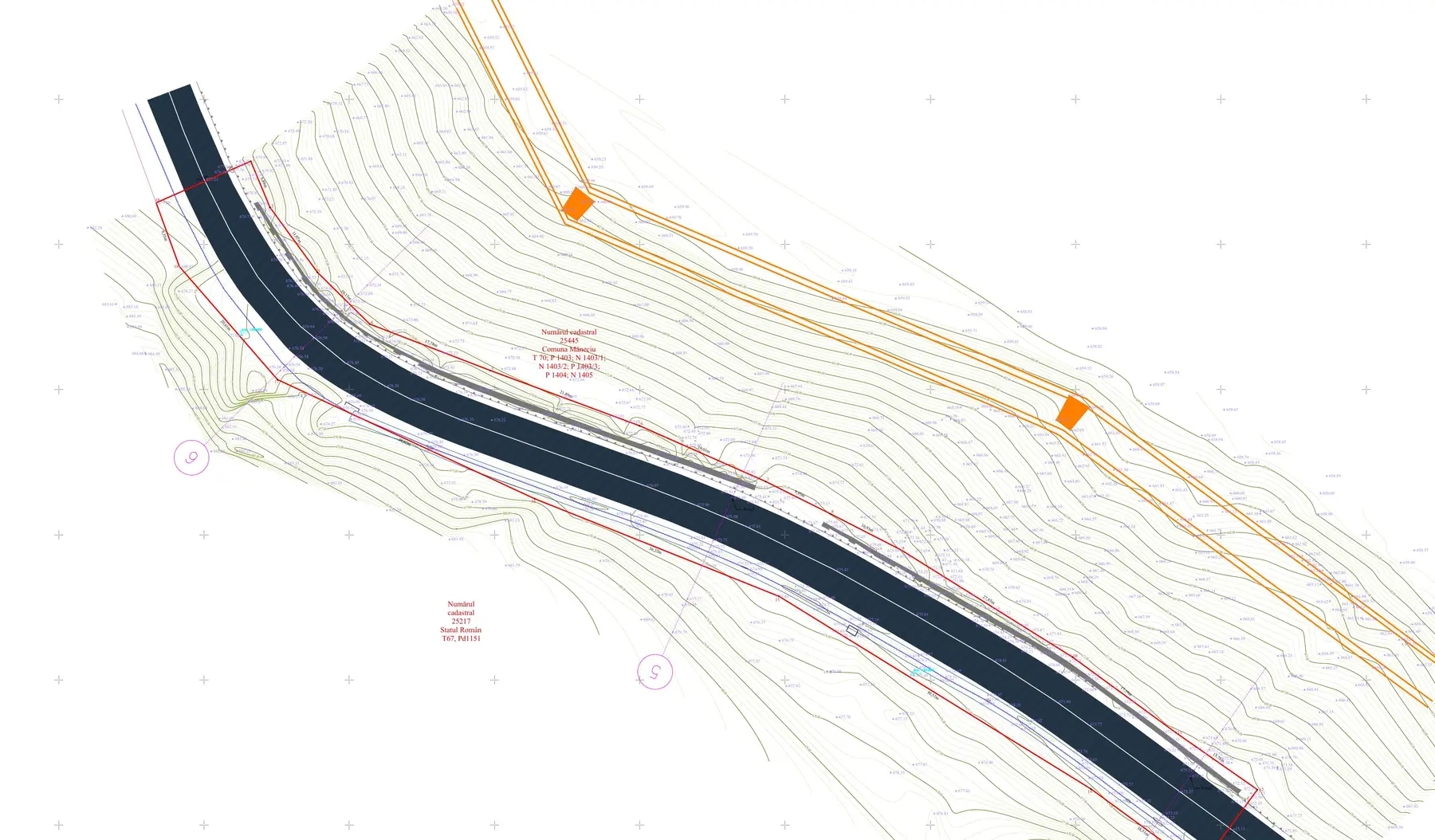
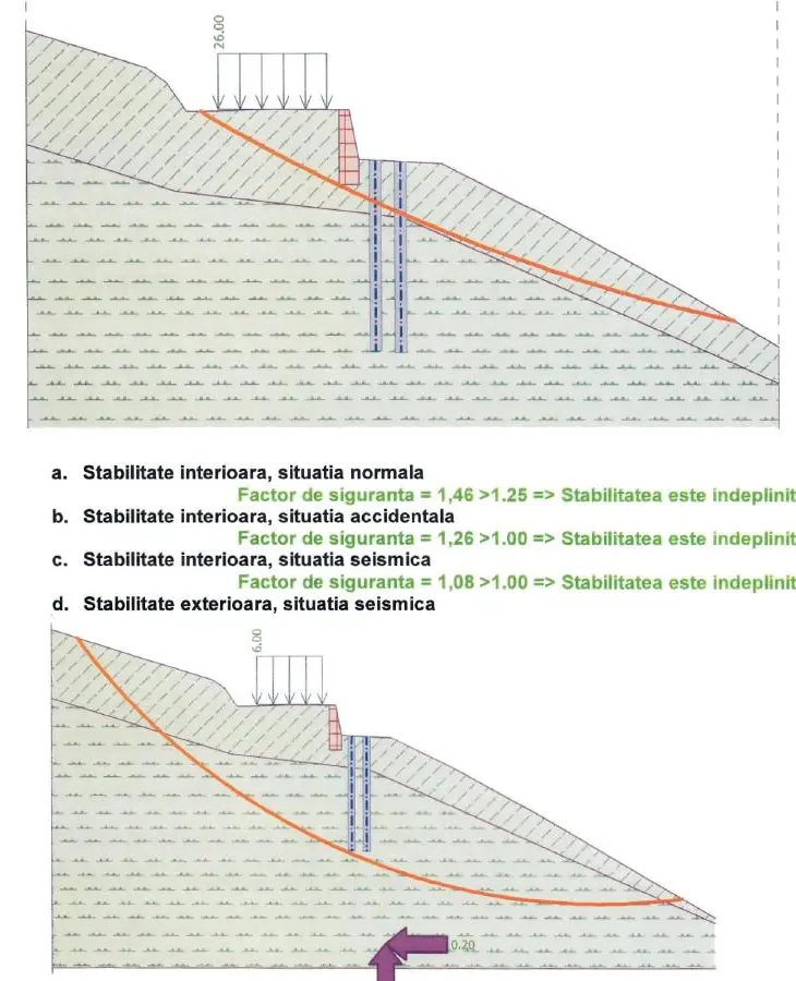
The topographical survey, five geotechnical boreholes and stability checks established the geometry and sequence of the works. The technical assessment was integrated as a distinct source document underpinning the design.
Lead design and multidisciplinary coordination for embankment stabilisation, carriageway reconstruction, retaining works and drainage along km 133+450–133+630.
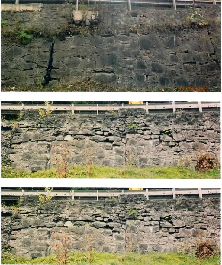
The sector crosses mountainous terrain with a documented history of instability. Carriageway settlement, deterioration of the old retaining structures and deficient water disposal pointed to a problem that could not be solved at pavement level alone. The design objective was to stabilise the whole system and restore the road’s function.
TOGES SERV incorporated the topographical data, geotechnical investigation and technical-assessment conclusions into a coordinated design covering the ground, retaining structures, drainage and pavement system.
The topographical survey, five geotechnical boreholes and stability checks established the geometry and sequence of the works. The technical assessment was integrated as a distinct source document underpinning the design.
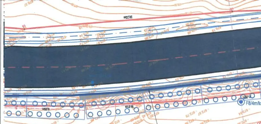
Bored-pile systems were configured to suit the individual subsections, connected by reinforced-concrete elements and coordinated with existing structures where the ground conditions allowed.
Slope drainage, lined ditches and replacement of the deteriorated culvert were coordinated so that water could be collected and discharged without reactivating instability.
Reconstruction of the pavement, shoulders, vehicle-restraint system and road markings completes the structural works and restores the sector to serviceable conditions.
The published material consists solely of anonymised technical extracts. The client’s identity, the authors of the supporting studies, contract values and administrative documents are not disclosed.
Does your infrastructure project require ground, structure and road design to be coordinated?
Discuss it with TOGES SERV